On the timescale of drought indices for monitoring streamflow drought considering catchment hydrological regimes
This open access, academic paper investigates the appropriate timescale of various drought indices for monitoring streamflow drought across diverse catchment hydrological regimes in Chile. The authors examine the Standardised Precipitation Index (SPI), Standardised Precipitation Evapotranspiration Index (SPEI), Empirical Standardised Soil Moisture Index (ES-SMI), and Standardised Snow Water Equivalent Index (SWEI), comparing them against the Standardised Streamflow Index (SSI-1) using cross-correlation and event coincidence analysis. The study, covering 100 near-natural catchments, concludes that no single index or timescale universally characterizes streamflow drought, as suitability strongly depends on catchment memory; for example, snowmelt-driven catchments respond best to long-term precipitation indices (SPI at 12–24 months), while fast-response rainfall-driven catchments correlate best with short-term indices (SPI at 3 months). Furthermore, the research finds that meteorological indices are generally better proxies for streamflow drought than soil moisture or snow indices, and it advocates for the use of event coincidence analysis to avoid the influence of non-drought periods.

Intergovernmental Hydrological Programme
Introduction
Drought indices are widely utilized globally to monitor the onset, duration, and severity of dry events, playing a key role in systems like the U.S. Drought Monitor and the European Drought Observatory. Despite this widespread use, a consensus remains elusive regarding which specific index and temporal scale is most appropriate for monitoring streamflow drought across varying hydrological settings,. This uncertainty, alongside limited understanding of the critical index thresholds that correspond to real-world impacts on society, the economy, and ecosystems, complicates effective decision-making and adaptation strategies. Although droughts are typically categorized as meteorological (e.g., precipitation deficits), soil moisture, or hydrological, the most severe socio-ecological consequences are usually linked to hydrological droughts—deficits in surface water and groundwater.
The propagation of a meteorological deficit into a streamflow drought is a complex, delayed process mediated by the land component of the hydrological cycle and a catchment's "hydrological memory". Recognizing the growing need for effective monitoring, especially in ungauged areas, this study examined 100 near-natural catchments in Chile, categorized by four hydrological regimes (nival, nivo-pluvial, pluvio-nival, and pluvial), to identify reliable proxies for streamflow drought. The core questions the research addresses are: (i) What temporal scales of frequently used indices like the Standardised Precipitation Index (SPI) and the Standardised Precipitation Evapotranspiration Index (SPEI) are best for predicting streamflow drought across these different hydrological regimes? (ii) Do indices based on key modulating variables like soil moisture (Empirical Standardised Soil Moisture Index, ESSMI) or snow water equivalent (Standardised Snow Water Equivalent Index, SWEI) outperform meteorological indices as proxies for streamflow drought?
Study Area
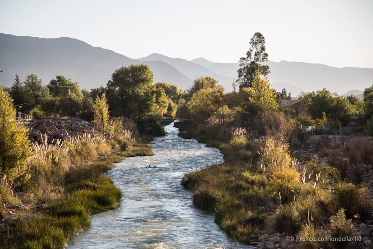
 The study area is Continental Chile, a country that stretches 4300 km latitudinally (17.5–56.0° S) and averages only 200 km in longitudinal extent, with elevations ranging up to 6892 m a.s.l. in the Andes mountain range. This geography creates a significant climatic gradient, transitioning from arid conditions in the Far and Near North to temperate and humid environments in the Central and Southern regions.
Both precipitation and streamflow generally increase in the southward direction and with rising elevation. The Central Chile region (30–38° S) is particularly important, as it hosts two-thirds of the country’s population and is the center of intensive economic activity and agriculture. This region has recently endured the effects of a severe multi-year dry period known as the “megadrought” (starting around 2010), characterized by significant precipitation deficits (25%–80%) and severe impacts on snowpack and surface water levels.
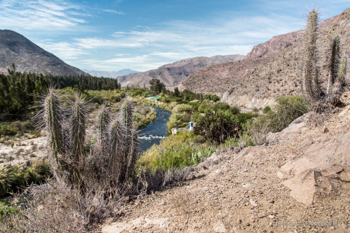
 To ensure the research results reflect natural hydrological processes, the study focused on 100 carefully selected near-natural catchments across this diverse territory. These catchments were chosen using strict criteria to minimize human interference, specifically excluding those with large dams, significant urban area (less than 5%), or high consumption use (less than 10%).
The catchments vary widely in characteristics, ranging in size from 35 to over 11,000 km², having highly variable annual precipitation, and spanning diverse climate types (e.g., hot desert to tundra). For the purpose of analysis, these 100 catchments were classified into four distinct hydrological regimes: nival (snow-dominated), nivo-pluvial (snow-dominated with rain influence), pluvio-nival (rain-dominated with snow influence), and pluvial (rain-dominated). This classification is key to understanding how drought propagation varies across Chile's varied landscape.
Overview of Key Findings
A crucial finding of the study is that there is no single best drought index or temporal scale suitable for characterizing all streamflow droughts across Chile's diverse climate regions; instead, the most effective proxy depends heavily on the hydrological regime of the catchment. This dependency is a direct reflection of a basin's "hydrological memory," which dictates how quickly meteorological deficits propagate into streamflow shortages. The research demonstrates that selecting the proper index requires a localized approach based on how water inputs (precipitation and snow) ultimately translate into streamflow.
The optimal temporal scale for the Standardised Precipitation Index (SPI) and Standardised Precipitation Evapotranspiration Index (SPEI) varies dramatically between the dominant hydrological regimes. For instance, in snowmelt-driven catchments (nival), characterized by a slow streamflow response, the most effective proxy is the SPI accumulated over very long periods, specifically 12 to 24 months. This long timescale is required because streamflow in these high-elevation basins is modulated by slow processes like snowmelt infiltration and delayed groundwater contributions, which can extend the influence of precipitation deficits for more than a year. In contrast, rainfall-dominated catchments (pluvial), which exhibit a fast streamflow response to precipitation, are best monitored using the SPI at a 3-month accumulation period, as Precipitation deficits are propagated into streamflow deficits much more rapidly.
This variability in required accumulation periods manifests as a clear spatial pattern across Chile, which is the most striking visual output of the results (e.g., Figure 10 in the source material). Catchments in Central and Near North Chile (where snow influence and longer memory are prevalent) yielded the highest cross-correlation and event coincidence rates with indices accumulated over 12 or 24 months,. Meanwhile, the faster-response pluvial catchments found further south required shorter, 3- to 6-month accumulation periods,. This highlights that index selection and timescale must be tailored according to the specific hydrological behavior of the region to accurately assess and predict streamflow drought events.
- Hydroclimatic data from Chile's River Basins
Research Publication
Baez-Villanueva, O., Zambrano-Bigiarini, M., Miralles, D., Beck, H., Siegmund, J., Alvarez-Garreton, C., Verbist, K., Garreaud, R., Boisier, J., Galleguillos, M. (2024). On the timescale of drought indices for monitoring streamflow drought considering catchment hydrological regimes. Hydrology and Earth System Sciences, 28(6), 1415-1439. https://doi.org/10.5194/hess-28-1415-2024
10.5194/hess-28-1415-2024
View Paper
Datasets
Caravan CAMELS-CL
Caravan is an open community dataset of meteorological forcing data, catchment attributes, and discharge data for catchments around the world....