UNESCO IHP

IHP-WINS: Empowering Open Science & Data-Driven Water Governance

UNESCO's Water Information Network System for evidence-based decision making

Learn More
UNESCO IHP

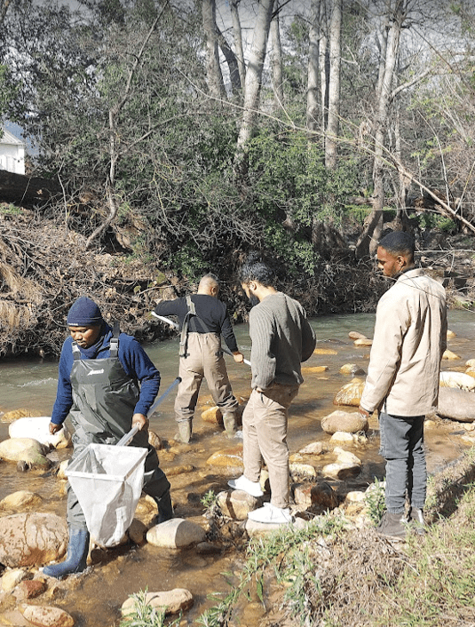
Citizen Science

Community-driven water monitoring and data collection

IHP Citizen Science Portal
UNESCO IHP

Internet of Things

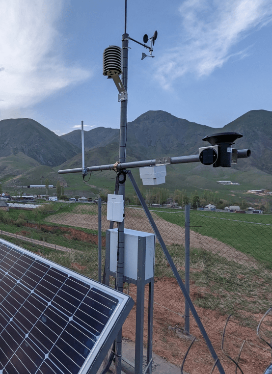
Real-time water monitoring through connected sensors

IHP IoT Portal
UNESCO IHP

Open Learning

Build capacity in water science and management

IHP UNESCO Open Learning
UNESCO IHP

UNESCO News and Events

Stay connected with the global water community

View Events

IHP-WINS at a glance

The IHP Water Information Network System

The Intergovernmental Hydrological Programme's Water Information Network System (IHP-WINS) promotes the sharing of water-related data among countries, organizations, and stakeholders as part of the UNESCO IHP mandate.

Data Integration

Integrates water-related data from monitoring networks, research institutions, and international organizations using standardized formats.

International Cooperation

Strengthens collaboration and knowledge exchange among water professionals at national, regional, and global scales.

Evidence-Based Decisions

Supports sustainable water management through tools for data visualization, analysis, and informed decision-making.

Featured Datasets

Recently uploaded datasets from UNESCO's Water Family

TWAP Indicators for Small Island Development States
The SIDS viewer provides groundwater related information on Small Island Developing States. At present the system contains mainly information derived from the Transboundary Waters Assessment Program (...
The SIDS viewer provides groundwater related information on Small Island Developing States. At present the system contains mainly information derived from the Transboundary Waters Assessment Program (TWAP) on 43 SIDS. The data include indicators describing the hydrogeological, environmental, socio-economic and governance dimensions of the SIDS groundwater systems. The data have been derived from questionnaire surveys and an extensive desk-top study executed by the Simon Frasier University (Canada) and coordinated by UNESCO-IHP. Data in the system can be explored and analysed using a map based viewer, which is particularly useful to make comparative analyses of multiple SIDS. Additionally SIDS information sheets are also available providing clear overviews per SIDS. Further data on SIDS will be collected and uploaded into the SIDS viewer as they become available. For any queries or comments on the SIDS data and information, please visit our SIDS Focal Area page. (https://www.un-igrac.org/areas-expertise/small-island-developing-states-sids)
HoA Transboundary Aquifers
Recognizing the value of transboundary water systems and the fact that many of them continue to be degraded and managed in fragmented ways, the Global Environment Facility Transboundary Water Assessme...
Recognizing the value of transboundary water systems and the fact that many of them continue to be degraded and managed in fragmented ways, the Global Environment Facility Transboundary Water Assessment Programme (GEF TWAP) was developed. The Programme aims to provide a baseline assessment that identifies and evaluates changes in these water systems caused by human activities and natural processes, and the consequences such have on dependant human populations. The project is the first truly global comparative assessment for transboundary aquifers, lakes, rivers and large marine ecosystems, as well as a thematic evaluation of the open ocean, through institutional partnerships that hope to seed future global assessments. The project results are envisioned to assist the GEF and other international organizations in setting priorities for supporting the conservation of transboundary water systems. More information on TWAP including final reports can be found on www.geftwap.org This portal gives access to the map based results from the Groundwater component of the Transboundary Waters Assessment Programme. The data shown in this portal have been made available by national experts from countries involved in the TWAP Groundwater project. It also includes the results from scenario analyses using the global WaterGAP model (University of Frankfurt, Germany) and a study on groundwater systems of small island developing states, also called SIDS (Simon Frasier University, Canada). More information on TWAP Groundwater, including reports on methodology and outcomes, can be found on www.twap.isarm.org
UNEP GEMS/Water Global Freshwater Quality Archive
Large-sample datasets are essential in hydrological science to support modelling studies and global assessments. The present dataset compiles all freshwater quality data that is available under open d...
Large-sample datasets are essential in hydrological science to support modelling studies and global assessments. The present dataset compiles all freshwater quality data that is available under open data policy (CC BY 4.0 or equivalent) at the GEMStat database for global water quality (www.gemstat.org). It includes over 20,000,000 measurements on 608 water quality parameters, covering 13,660 stations in 37 countries over the time period from 1906 to 2023. GEMStat is operated by the GEMS/Water programme of the United Nations Environment Programme (UNEP) and hosted at the International Centre for Water Resources and Global Change (ICWRGC) and the German Federal Institute of Hydrology (BfG). The data in GEMStat is provided by National Hydrological Services of UN member states.
Groundwater storage in Africa
This 5 km resolution grid presents groundwater storage in Africa (in mm). This parameter was estimated by combining the saturated aquifer thickness and effective porosity of aquifers across Africa. Fo...
This 5 km resolution grid presents groundwater storage in Africa (in mm). This parameter was estimated by combining the saturated aquifer thickness and effective porosity of aquifers across Africa. For each aquifer flow/storage type an effective porosity range was assigned based on a series of studies across Africa and surrogates in other parts of the world. Groundwater storage is given in millimeters. Detailed description of the methodology, and a full list of data sources used to develop the layer can be found in the peer-reviewed paper available here: http://iopscience.iop.org/article/10.1088/1748-9326/7/2/024009/pdfThe raster and a high resolution PDF file are available for download on the website of British Geological Survey (BGS): http://www.bgs.ac.uk/research/groundwater/international/africanGroundwater/mapsDownload.html
Water Family Symposium 4th of June 2024
This dataset includes pdf versions of presentations delivered during all sessions of the Water Family Symposium: Opening Session / Session 1: Scientific contribution of the Water Family / Session 2: ...
This dataset includes pdf versions of presentations delivered during all sessions of the Water Family Symposium: Opening Session / Session 1: Scientific contribution of the Water Family / Session 2: Contribution of the Water Family to Capacity Development / Session 3: Contribution of the Water Family to Capacity Development.

Explore Data

Latest datasets and publications added to IHP-WINS

Tools and Resources

Viewers, AI tools and open source software from the water community

Thematic Viewers

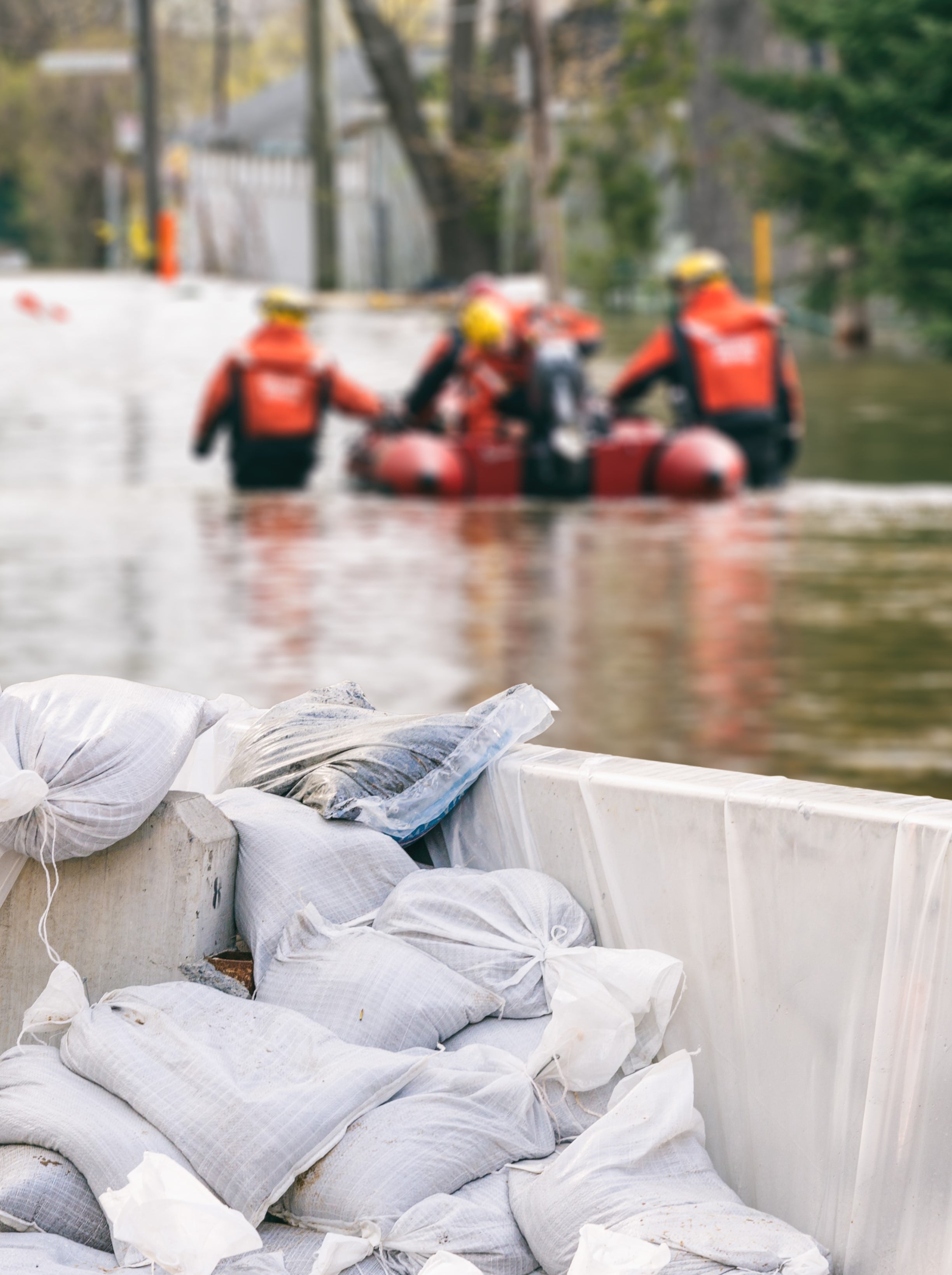
Flood and Drought Monitoring and Early Warning Systems
Ecohydrology Demonstration Sites
Water Quality Monitoring Portal
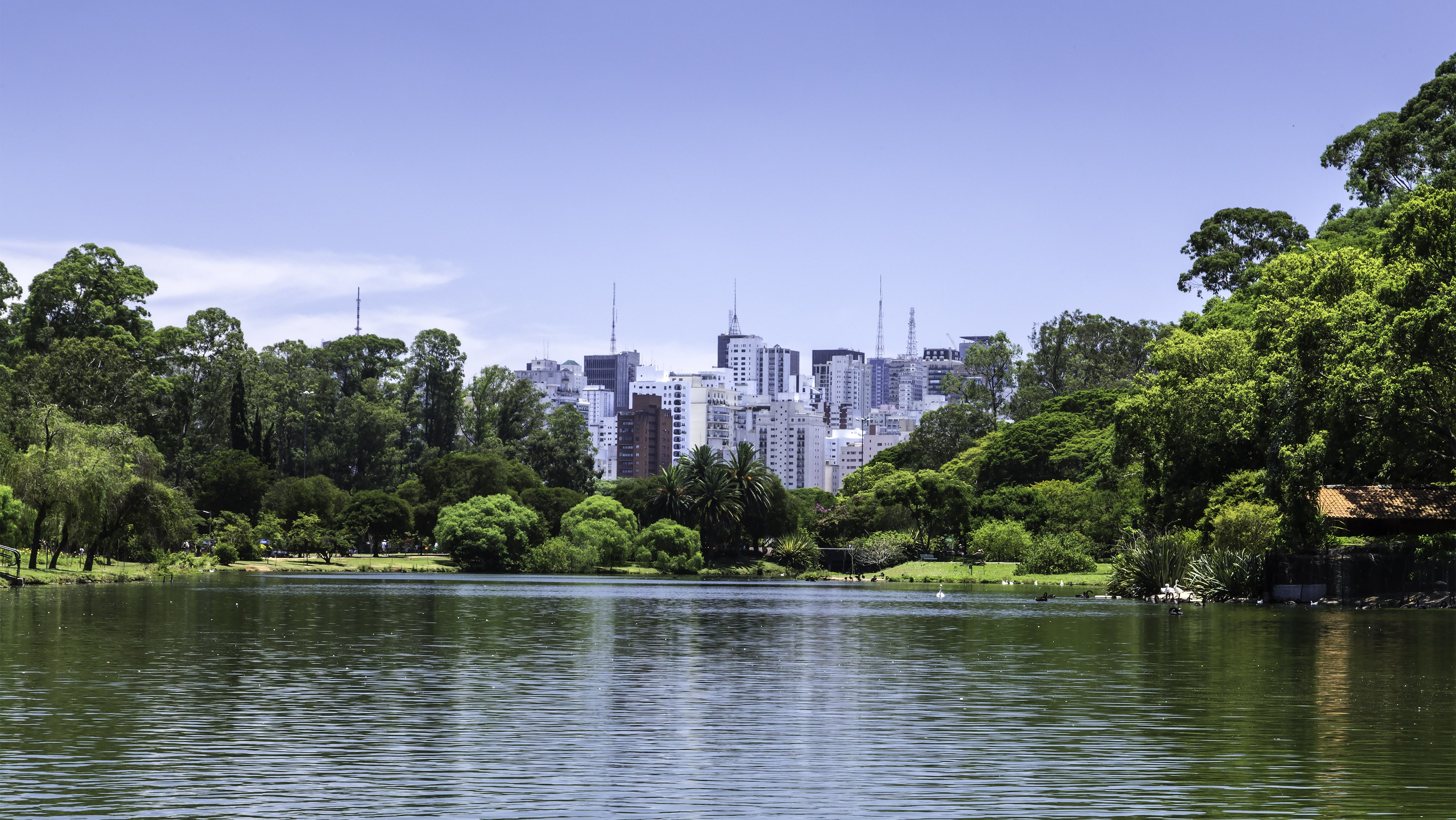
Urban Water Solutions Database
Internet of Things Portal
Citizen Science Portal