Published Story Map

Demo: maps, images and text

An editable demo with four slides from two maps, interleaved photographs and text, and complete sections without a map.

Scroll to explore the story — the visualizations update as you read.

Loading scene…
1

Before the map: a complete text section

Follow the story, then change its order

This demo lets you try the new editor options. You can interleave slides, photographs and paragraphs, and combine multiple map sources.

This first section has no map. It provides a complete space to introduce the story. Scroll down to begin.
2

A journey through maps, photographs and text

This journey alternates between two map sources and both image display modes. The photographs come from an existing IHP-WINS story about Zimbabwe and are used here as visual examples.

1/2 Ghana: an overview

This is the first slide. The map moves to Ghana as you read the text.

Keep scrolling: the next stop is a full-width photograph.

Open this map in Terria

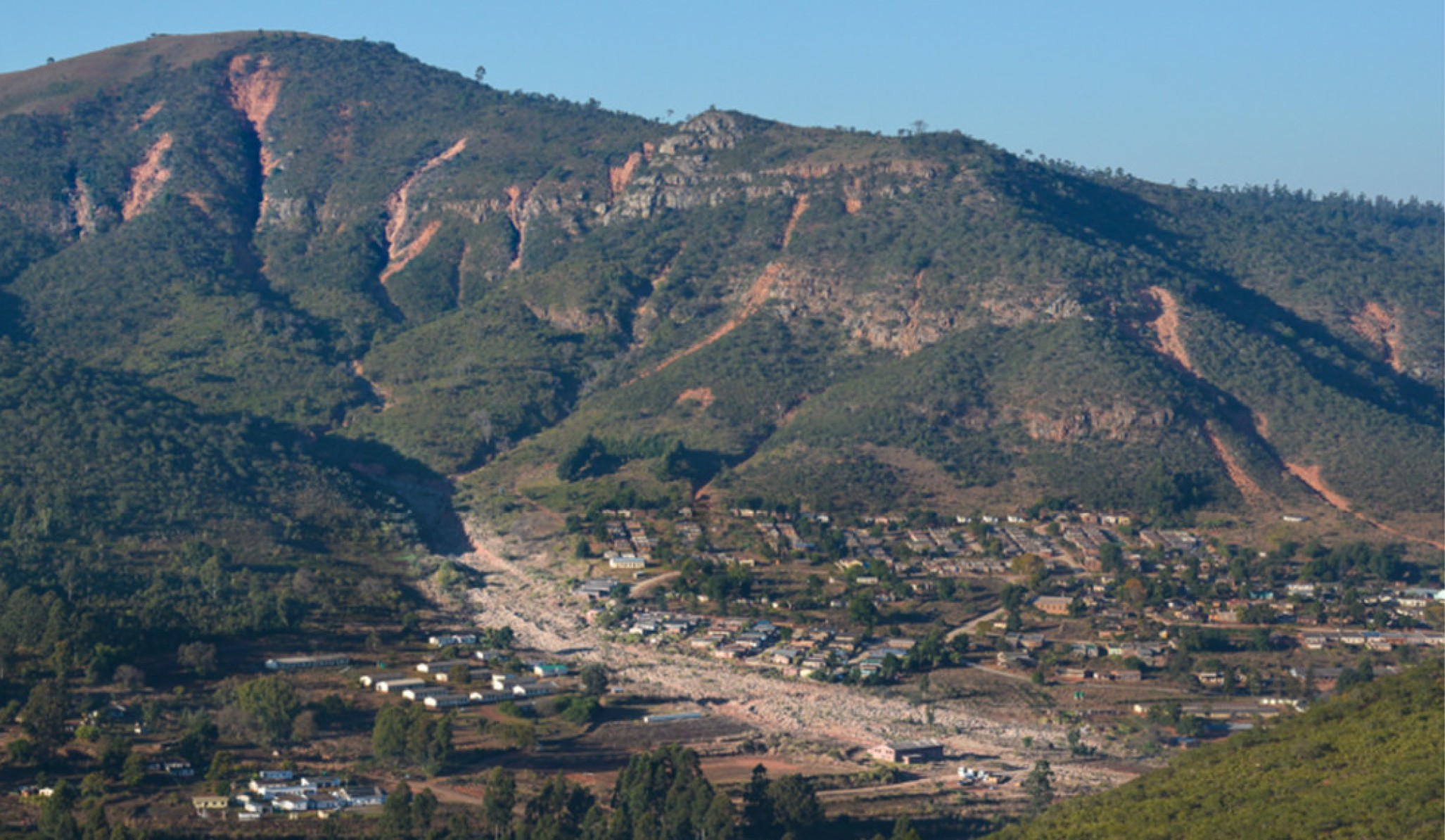
Panoramic view of landslides in Chimanimani
A full-width image between two slides. View of Ngangu, Chimanimani (Zimbabwe). Credit: M. Vanmaercke.
Shown as a full-width story image

A pause to add context to the image

This paragraph is a text block independent of the Terria slides. You can edit it, move it, or insert another block before or after it.

Continue reading: the next slide returns to the map and zooms in on Accra.

2/2 Accra: zooming in within the same section

After the photograph and editorial text, the story returns to the map at a different scale.

The source is still Ghana; this slide keeps its own view of Accra.

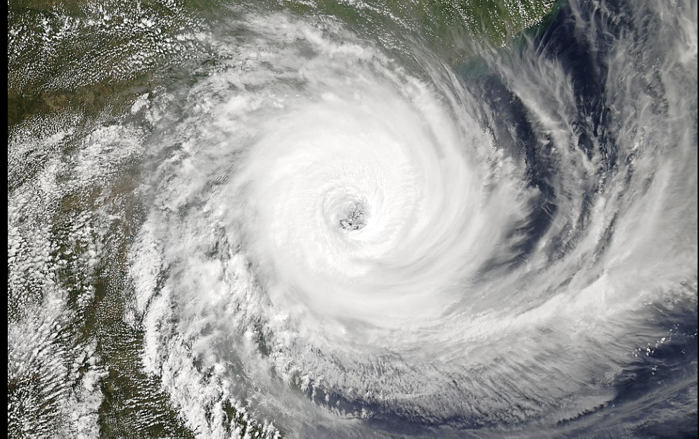
Satellite image of Cyclone Idai, NASA, 2019
An image in the map panel. Satellite image of Cyclone Idai: the map reappears as you continue reading. Credit: NASA, 2019.
Shown over the map as you read

Moving from one source to another

You can also display an image over the map panel to accompany the narrative. The next block switches from Ghana to Mozambique.

1/2 Mozambique: another map in the same section

The map source now changes. The narrative continues within the same CKAN section.

In the editor, the Ghana and Mozambique tabs belong to a single map block.

Try editing: move this sentence between two slides, save, and reopen the story. The order is preserved.

2/2 Maputo: the final slide

The second source can also contain several slides. This view zooms in on Maputo.

The maps in this demo show locations; they do not represent the results of a risk assessment.

Open this map in Terria

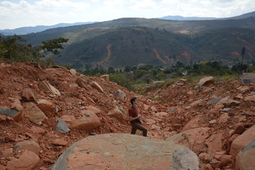
Landslides in Chimanimani
Another full-width photographic pause. Landslides in Ngangu, Chimanimani (Zimbabwe). Credit: Koen Verbist, UNESCO.
Shown as a full-width story image
6

Now try the editor

Four changes to try

  1. Open Edit demo and add an image between two slides.
  2. Switch its display between full width and the map panel.
  3. Move a text block using the arrows, then save and reopen the story.
  4. Click Update slides from Terria to refresh the sources. Text and images added in CKAN are preserved.

Edit demo · Open Terria to try location search

To try the search, enter Accra or Maputo and press Enter or Search. Feel free to edit this demo: it is saved in the development environment.

Photographs and credits: the Zimbabwe story on IHP-WINS.

Image Gallery